
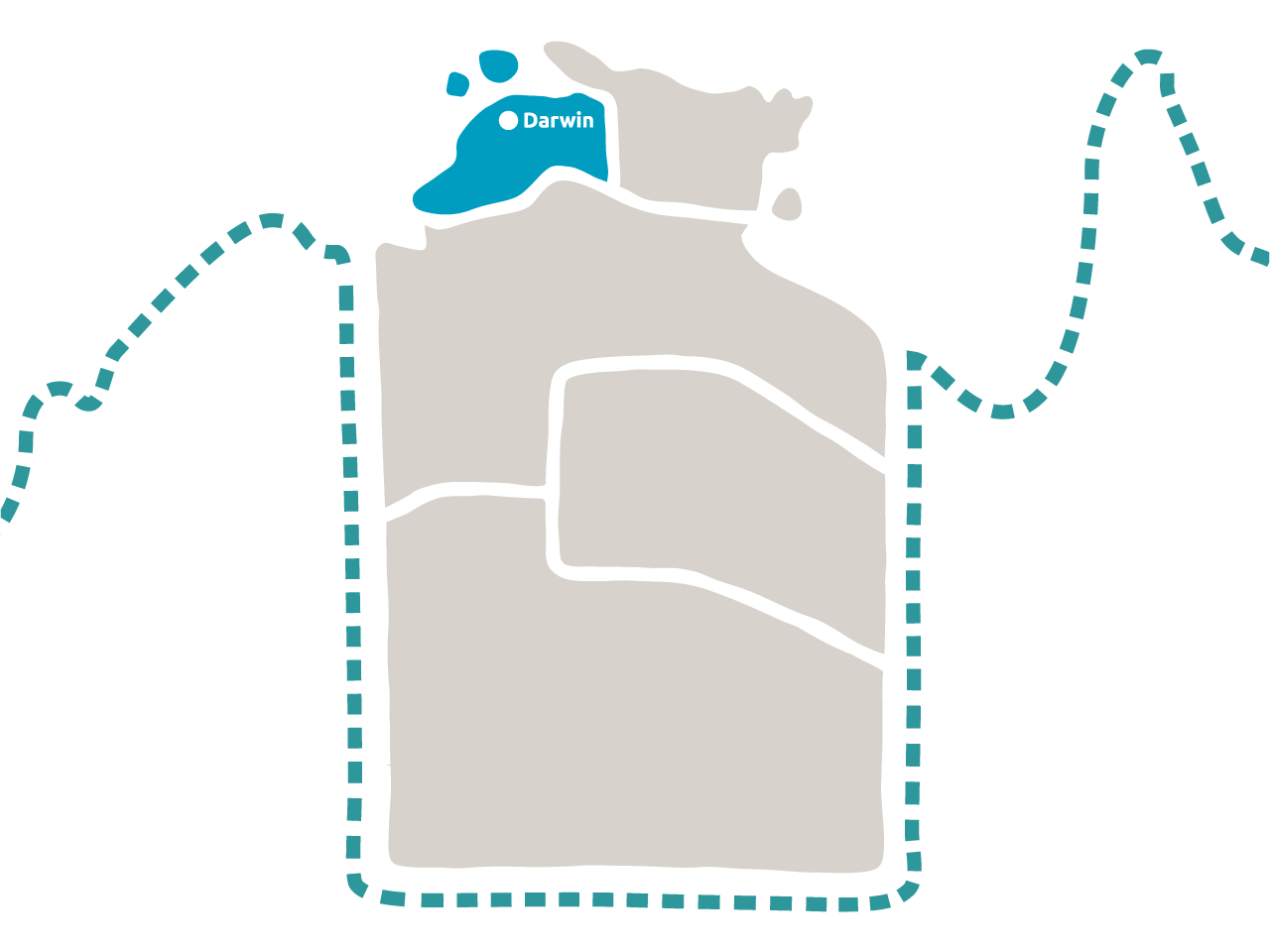
Welcome to Darwin, the traditional lands of the Larrakia people.
8.5 average daily sunshine hours
Population 150,000
Median age 34.6
112,295km² total land area
Greater Darwin & surrounds
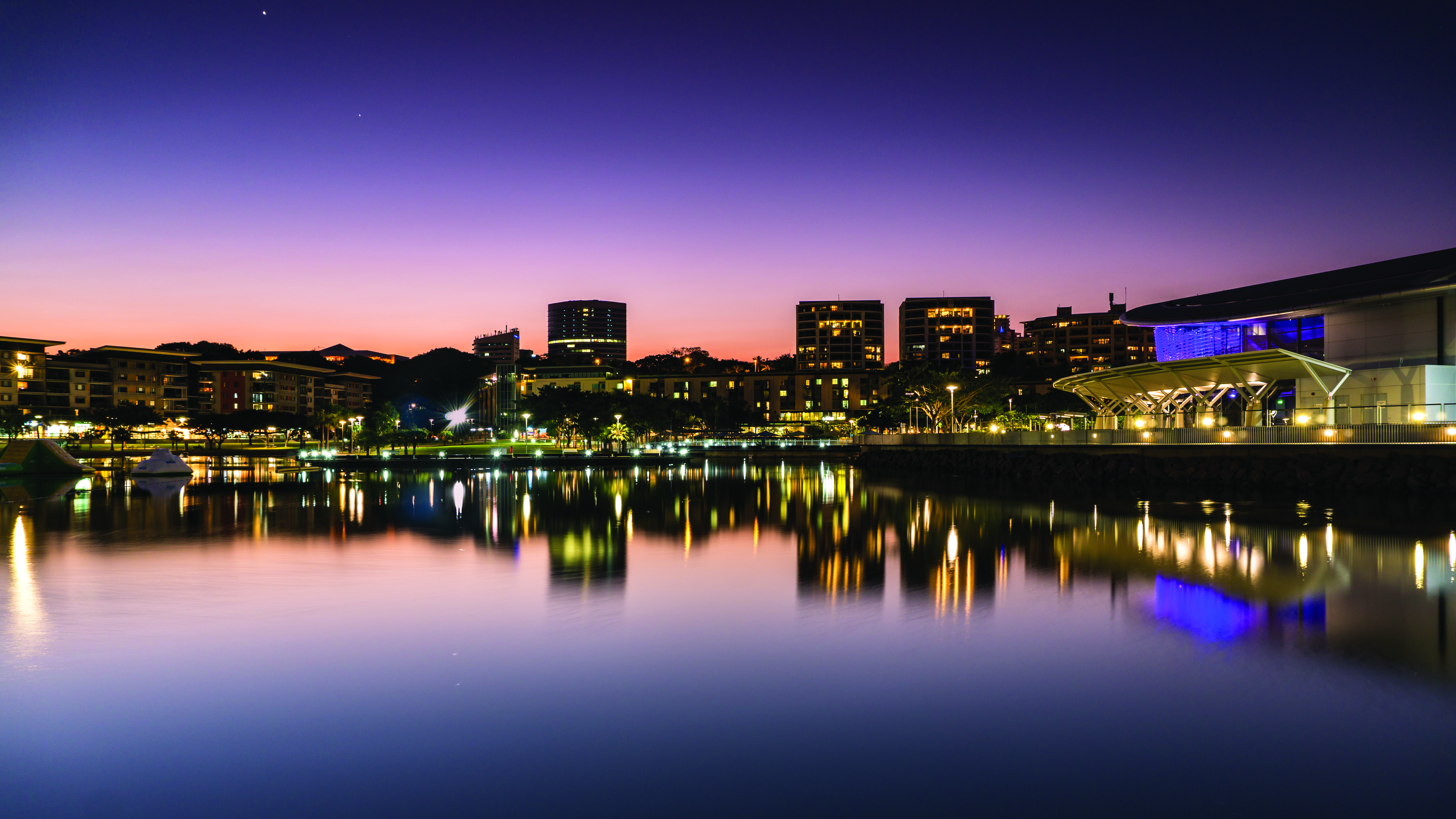
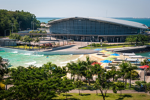
A place where stunning coastlines surround a thriving and unique city. A cultural melting pot where great food and new friends paired with a unique outdoor lifestyle awaits you.
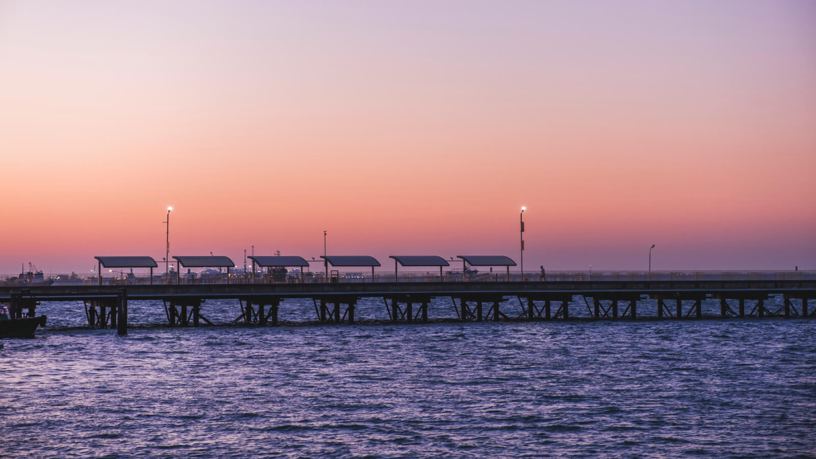
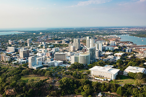
The capital of the Northern Territory, Darwin, is a vibrant city that sits adjacent to the Timor Sea. With warm temperatures year-round, it has been hyped as one of the top destinations by visitors (and locals) near and far. Greater Darwin offers a large variety of national parks, waterways, dining options, shopping and cultural attractions for all. The region boasts a thriving nightlife scene with clubs and bars open late. With a population of around 159,300 people, Greater Darwin includes the local government areas of Darwin, Palmerston and the Litchfield Shire.
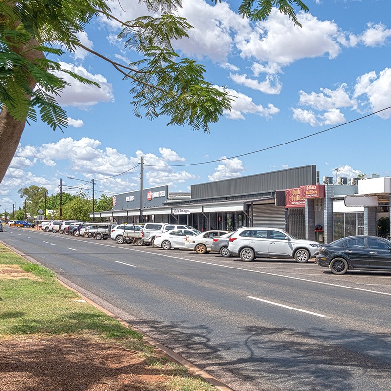
Both Darwin and Palmerston consist of a number of residential suburbs. Both have their own shopping centres, pubs, restaurants, schools and more; with Darwin set more around the coast, and Palmerston inland, with access to the water via the Elizabeth River that feeds into the harbour.
The City of Palmerston is centrally located approximately 20 kilometres from Darwin and 10 kilometres from the start of Litchfield Shire.
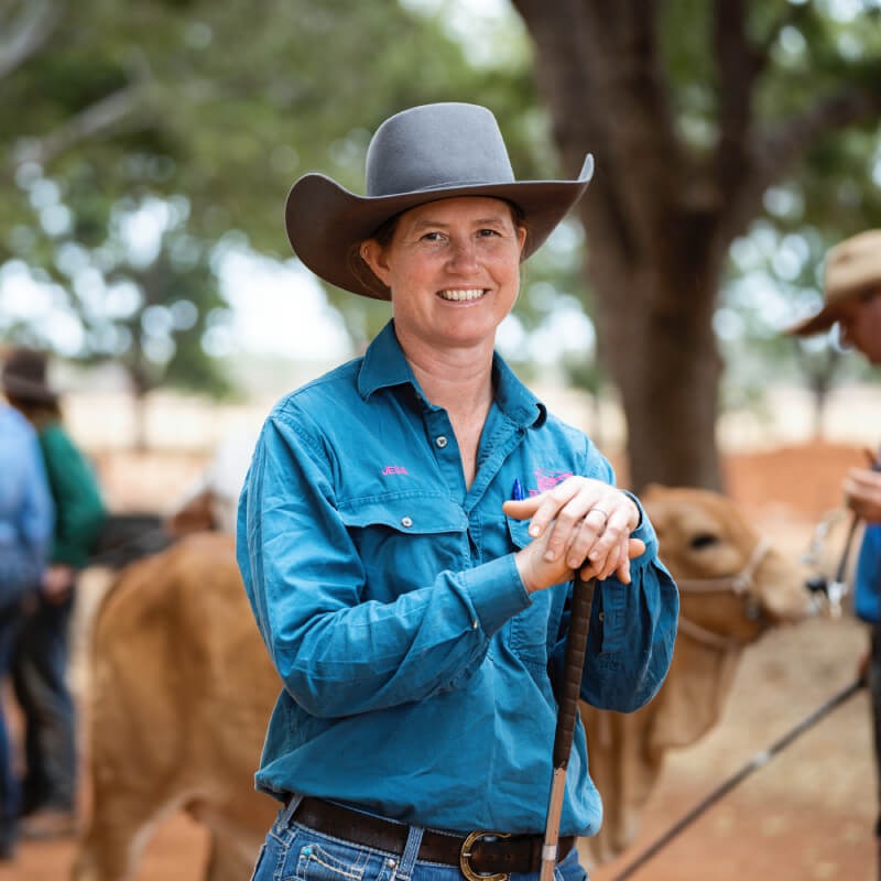
Litchfield Shire is where land blocks transition to acreage, just 25 minutes drive from Darwin’s CBD. It has working farms, orchards (full of mangos), horses and cattle, rural residential living, regular multicultural markets, plus great shopping with access to supermarkets and shopping centres, plus a number of schools, vets, mechanics, gyms and more.

The Top End has two seasons - the dry and the wet, with a brief transitional period referred to as the build-up.
You can enjoy beautiful sunny days and blue skies during the dry season. The weather sits around 32oC during the day and 20oC at night, with humidity siting around 6 to 65% - making it the perfect weather to spend most of your time outdoors.
The build-up typically starts in November and runs until late-December. This period brings an increase in temperature and humidity ahead of the wet season.
The wet season starts in December and typically runs until April. There's an increase in temperature and humidity but you can expect spectacular monsoonal rains and iconic thunder and lightning storms.
Other than private vehicles, buses are the main form of public transport around Darwin. Although taxis, rideshare services, cycling, scooting and walking are also popular.
Parking
There is plenty of parking around the city and surrounds, and unlike our interstate neighbours, parking is affordable, with all-day off-street parking available for around $5-12 per day. Parking is free afterhours, weekends and public holidays in all off street parking locations.
The City of Palmerston offers free CBD parking in key locations during the week.
By road
Despite vast distances, travelling to the Northern Territory by coach is easy and affordable. For information about tickets, schedules and fares, visit local visitor information centres and transport hubs like Tourism Top End Visitor Information Centre, Tourism Central Australia Visitor Information Centreand Greyhound for details.
The Stuart Highway connects Darwin to South Australia via Katherine, Tennant Creek and Alice Springs. The Victoria Highway connects the Territory to Western Australia, and the Barkly Highway to Queensland. Driving is a great way to see Australia, however it is best to plan your journey in advance, noting distances between fuel stops and accommodation options can vary.
By air
Darwin International Airport is the largest airport servicing the Northern Territory.. The airport is located 8 kilometres from the Darwin CBD and includes international, domestic and cargo terminals. Darwin International Airport services a number of airlines and charter flights, including Air North, Jetstar, Qantas, Virgin and Singapore Airlines.
By rail
The Darwin Railway Station is located on Berrimah Road at East Arm, right next to the Port of Darwin. This passenger terminal is where you can experience The Ghan - one of the world’s most luxurious and memorable train journeys.
There are several arts and cultural centres, museums, and galleries across the Top End. Read about the facilities in the region.
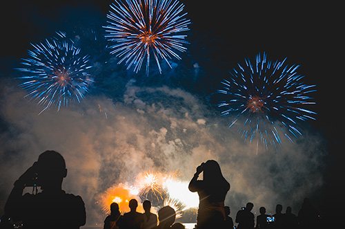
There are also a number of events in the regions hosted by local venues and sporting groups. Look over the calendar of events to see what's on offer.
Some key events happening in the region include:
Find out more about the variety of sports available in the region. You can also look at the NT Community website for local sporting groups.
Darwin City, Casuarina, Nightcliff, Palmerston, Bachelor, Jabiru, Gunbalanya and Maningrida all have public swimming pools.
Australian Rules Football (AFL) is the Territory's most popular sport, especially in Aboriginal Australian communities throughout the regions. All other major sporting codes are played depending on whether it is the wet or dry season.
The Greater Darwin Region has:
- 33 Primary Schools
- 4 Middle Schools
- 8 Senior Schools
- and multiple university campuses
The Top End region has a range of childcare, primary, secondary and tertiary education options.
There are:
- 119 childcare centres
- 42 primary schools
- 21 senior schools
- 6 universities
You can look at the Childcare and School sections to learn more.
If you want to see a list of schools in your area, visit the Northern Territory Government's Education Directory.
When you move to the region access to housing can vary depending on where you are relocating to. Housing can be available to purchase and rent, however, availability in some communities may vary. If relocating for work, check with your employer to see if they offer relocation assistance allowance.
Housing and rental average costs are kept up to date on the NT Economy website.
The Real Estate Institute of the Northern Territory REINT has a complete list of real estate agents that operate within the NT. These agents can assist you in looking for properties to rent or purchase.
If you’re looking for a rental and you work in a key service industry in the Territory, you may be able to apply for the rental subsidy scheme on the Northern Territory Government website.

Download regional guides
The following guides contain more information around what it's like to live and work in each region, with additional information about shopping, dining, attractions, Aboriginal language groups and more.
Useful links
The following local governments provide most of the services and amenities for Greater Darwin.
The following councils support the Top End Region.
Regional job search
Explore more
Regional living guides
Alice Springs & Surrounds
Alice Springs (or Mparntwe in Arrernte language) is the third-largest town in the Northern Territory, with a population of approximately 33,000 people.
Katherine & Surrounds
Katherine and surrounds, also known as the Big Rivers region extends from the Western Australian border to the Gulf of Carpentaria and along the Queensland border.

East Arnhem Land
The East Arnhem region is known for its beautiful beaches, rich cultural history and relaxed lifestyle.
Tennant Creek & Barkly Region
Tennant Creek is your authentic outback town with one main street and local stores. It's located between Alice Springs and Katherine and is known as the Golden Heart.